07.14.2023 - yellowstone

it was a typical beauiful morning when i got off around 7:30. thank you bruce boles for letting me rest up at your place for the day, shower, wash clothes and generally prepare for the 4-5 days in the mountains.


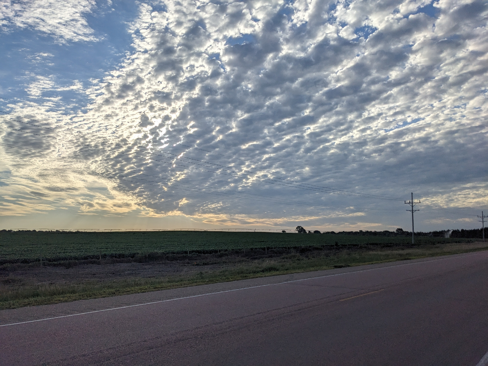
it was up over the mountain to the east, through bozeman pass. a 1,000 foot climb and down into livingston and the yellowstone river valley following i-90. left bozeman heading east on a back road that after 5-7 miles tied into the interstate. then it was onto i-90 to get up and through bozeman pass. initially, the shoulder was adequate, old and not up to contemporary standards, but adequate. and then it wasn't even that. several miles of minimal shoulder, mixed truck and car traffic that felt a bit dicey at moments. it was not enjoyable, but it only lasted a couple of miles. once through the pass, the shoulder opened back up and it was comfortable downhill to the livingston exit.
this is as far south as clark went on his return trip (he and lewis had split earlier, clark to explore the yellowstone, lewis to head north and explore the marias river. they met back up downstream on the missouri.)

i will confess that i stopped at the starbucks in livingston. my only excuse is that the downtown was a couple of miles in the wrong direction and everything heading south to yellowstone was tourist crap anyway. i picked up some fruit at the grocery store, a peach and an orange.
after a decent rest, it was up the yellowstone river valley, on the east river road. the main highway and limited commercial development is on the west side of the river. 40-50 miles to gardiner, mt at the entrance to the national park. and then a final 10 mi climb to mammoth springs campground inside the park. an ambitious ride.
it was a beautiful day, gorgeous valley and a great day to ride, except for the wind.


to hell with that, let me just go ahead and see what happens. what's the worst they can do? and as i start to pull out, i notice a park official getting out of a pickup. you're not going up to mammoth, are you? "well, no. but we modified the orders so that we'll let bikes through today. i thought i had communicated that, but perhaps the new shift didn't get the word. sorry for the momentary anxiety."
anxiety forgotten, thank you, sir, and i'm on my way. dangerous, ha! i can work with the cars. but steep? holy shit, it's my heart i needed to worry about. this is the temporary road they built after the
flooding. i thought they opened up the old one, but no. so this baby climbs the same 1,000+ feet in half the distance. a series of 10% grades according to the sign with a few lesser thrown in for breaks. did pretty well for more than half of it, but stopped two or three times near the end to allow my heart rate to settle.
flooding. i thought they opened up the old one, but no. so this baby climbs the same 1,000+ feet in half the distance. a series of 10% grades according to the sign with a few lesser thrown in for breaks. did pretty well for more than half of it, but stopped two or three times near the end to allow my heart rate to settle.

finally made it to the top, celebrated with clenched fist, and toward the village. as i approached the visitor's center, i looked down to my left, saw the campground below and realize i was quite a bit higher than the campground and i would have to go down to get to it. then, i realize the campground below looked empty and the road heading down (the old road) was closed.
there's quite a complex of buildings where i did come in at: old fort, hotel, visitor's center, park ranger office, some residences. visitor centor is closed (it's after 6) as is the ranger's office, but i find a ranger sitting in her car out back. she's ready to go home. she tells me the campground is closed and the next nearest is 10 miles south, indian creek. hold on, she calls another ranger and convinces him to drive me to indian creek. so we cram everything in his vehicle, bike, gear, me, and he drives me to indian creek hiker/biker spots. campground registration is of course closed, but the deligent and very talkative campground hosts checks me in. later they deliver a bucket of fire wood, a gift, they figured i wouldn't be able to scrounge much up. i'm sitting by my campfire, drinking a cup of hot tea, as i write this.

the mosquitos are active, but not bad at all. hopefully the chilly night will keep them still in the morning, too. the temperature is cooling off.


Comments
Post a Comment