08.18-19.2023
2:30 in the morning and i was awoken by bright car lights shining in the tent. i waited for them to turn and face away, but instead the next thing i knew there was a flashlight on me and a police officer asking how i was doing. "just fine, thank you, i'm dry and out of the storm." he told me the 'park' was closed. hard to deny since i was sleeping right under a sign that indicated it closed at 11pm. he asked if i was homeless and called in my driver's license. i told him i was cycling cross country, been on the road for over 50 days, and he figured i was probably pretty tired by now. after my id check came back clean, he told me he didn't have a problem with me sleeping there, wished me good luck and left.
in the morning, it was back on roads. i had approximately 60 mi. into pittsburgh where karen and i were going to meet at a brewery, then she would take me the rest of the way to her place by car.
10 minutes later, as i was drifting off, i suddenly heard an animal snort. twice. i turned on my flashlight, waved it around, but didn't see anything. i slid back down into my sleeping bag, but it took a while to fall back asleep.
with daylight, i was packed and back on the trail. the trail soon ending and going back to country road for awhile.
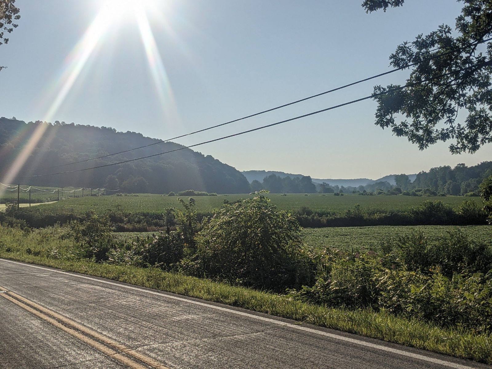
the area was starting to have shades of appalachia to it, with rolling hills and cornfields tucked in between the river and the road. but this was still amish country and you could tell the northern european influence with the prestine property, the lack of any miscellaneous tools, equipment or supplies left out. the foundations of the buildings clean and trim. something one sees throughout the midwest.
and the farms are smaller , yet with more buildings. i wonder if that's because they are more self-sufficient and make more of what they need? clothes are out drying on the line, trying to fly in the wind.
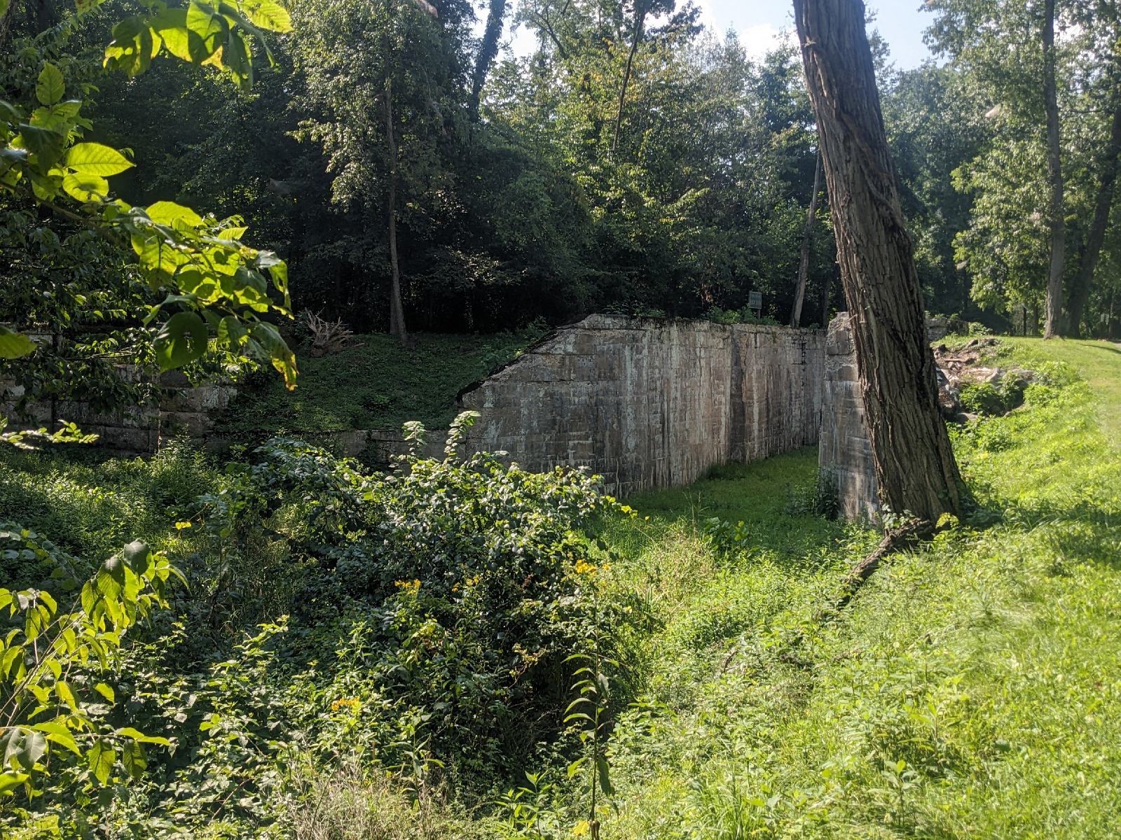
eventually, in navarre, the trail returns, actually the congressman ralph regula towpath along the tuscarawas river. this canal was part of the connection between lake erie and the ohio river.
then, once again back on roads for the final leg to the the conotton creek trail, where i hoped to find a spot to camp. i was low on both water and food, but google showed a convenient store near the beginning of the trail in bowerston. when i got to the 't' intersection, store to the right, trail to the left, the road and the bridge to the store were gone. there was no simple detour, matter-of-fact there was no detour sign at all.
so i turned left. headed down a couple of rough back roads and found the trail head. and what a surprise that was. a beautiful, well manicured, smooth asphalt trail. 12 miles of it, in the middle of nowhere. there would be no problem finding a place to camp on this.
and 6 mi. down the trail in scio was a small grocery market where i bought a quart of chocolat milk, container of baked beans, a container of pasta salad and a fried apple pie. then i went back to the trail, to a picnic table, and enjoyed my dinner.
afterward, i rode a few more miles down toward the end of the trail, to where there was one of half a dozen shelters along the trail. covered camping for the night. covered not for rain, but so i didn't have to use the rain fly for the heavy dew that came. the night was luxurously cool.
in the morning, it was back on roads. i had approximately 60 mi. into pittsburgh where karen and i were going to meet at a brewery, then she would take me the rest of the way to her place by car.
but first 25 miles into steubenville, located on the ohio river with a 9% grade down into the town, then across the river and up a climb on the otherside.
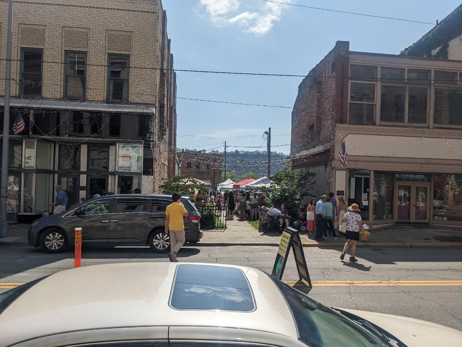
of course, there was a coffe shop in steubenville for a chai and scone. across the street was a pitifully small farmer's market. steubenville, like much of rural america, has seen better days.
the bridge across the ohio was an open metal grating type. there was a solid surface walkway adjacent to the road, but only accessible by steps. it was an interesting ride across. and on the other side, a serious hill to climb, the top of which was steep dirt and gravel. and also totally unnecessary since the trail on the other side, the panhandle trail, is supposed to start in stubenville and go around the mountain. but that parts not done, yet. so you go up, just to come down the other side to pick up the trail.
then it's all rails to trails into pittsburgh, or rather coraopolis where the cobblehaus brewery is about 10 miles down the ohio river from pittsburgh. half on the paved panhandle trail, cutting across west virginia oh so quickly; and half on the montour trail, which is hard pack with a fine stone cover and includes a tunnel.
to be greeted by my smiling daughter, karen, and boyfriend, matthew. i am suddenly feeling pretty tired and can't hold a smile long. but, once again, although the road goes on forever, it's time for this old geezer to get off of it. i've prooved all i'm going to proove.


Comments
Post a Comment