07.10.2023 - on to butte
 goodbye ethel, you are one amazing person.
 there are a couple of options for getting to yellowstone from missoula. the gart doesn't provide much of a clue. sw montana and wyoming are a great void in the trail. there are alot of mountains and a few passes. after consulting with ethel, i decided to abandon previous plans and head south, to lolo and rhe bitterroot valley.
 south of lolo, bitterroot valley, is beautiful. the bitterroot mountains line the west side with the valley filled with pasture land below. on the east is the bitterroot river and i don't know what mountains. but i'm going to have to cross over them when i get down to hamilton.

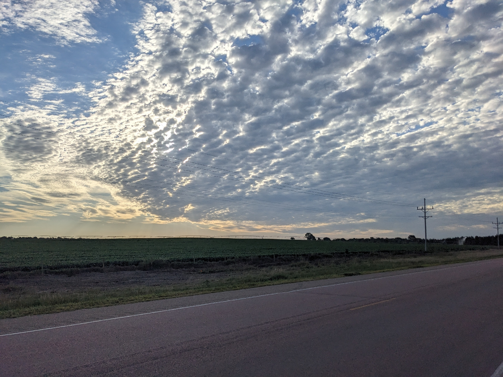
 there's still a little snow on the highest peaks.
 ah, yes. we took this valley from the salish and gave them a dry, colder, less disirable piece between missoula and flathead lake. i remember riding through the reservation 10 years ago, thinking how clean it was, but also how poor it looked.
and we took a lot of land from the blackfeet, including the missouri headwaters (still to come). also in exchange for dryer, poorer land along the canadian border. they didn't seem to have done as well as the salish.

 50 miles down the valley to harrison and finally a chance for a chai and long lunch at the river rising cafe across from the courthouse. weighing the impending rain storm while contemplating the mountain climb heading toward butte. the skalkaho highway.
i finally restarted and made it about 5 miles down the road, turned toward the mountain when i realized i was going to beat the rain. so i turned around and went back a mile to the conoco station i'd passed. a chance to drink a hot cup of tea and rest for an hour more while the thunderstorm rolled through. but then it was up and on the road.


the skalkaho highway is a bit of a misleading name. it does pass over and through the skalkaho mountain, it is high, but no highway. maybe i should have listened to ethel, but adventure is not on the roadmap. when i mentioned this option to her she looked at me quizically and said she thought that mr38 was a dirt road. i thought, how can state highway be dirt? she was part right. paved for 15 mi., then basically a dirt and gravel forest road for the next 26 miles (13 up and 13 down) before returning to pavement.

the paved part went well enough, grade not too steep, legs handling it well. and the gravel road not bad either. dan would have loved it. but this was a long climb. if dan had been along, i would have the numbers (in metric) but total climb from the valley 3,570', to the pass, 7,257', was around 3,700 feet most of it over the last 13 mi. or so. he would have ate this up.

 not having any landmarks for knowing my progress i finally reached skalkaho falls, more than half way up.

and then skalkoha pass, elevation 7,257 feet but no sign to say so. (i looked this up later.)

after the pass, it was another couple of miles to a nfs campground nicely located in a grove of firs with a stream running through it. three tent spaces, but only one taken (by 4 young guys in vehicles). perfect, except for the mosquitoes. filtered water but didn't cook anything. trail mix and protein bar.
i was very aware that i was now in bear country. there were warnings, but no bearproof storage boxes.
well, steve, i did the best i could with what i had. i took all my food and put it in the handlebar bag and then hung it from a support someone had previously put up on a tree. but it's only 8 feet off the ground and 2 feet from the trunk. 10 and 4 feet is recommended, but there's no way to do that. none of the trees have branches that extend far enough.a thunderstorm, 3,700 feet of climb, half on gravel road, topped off with mosquitos waiting at the top. and in the morning, 50 miles before there's real food.
at least i should have a beer waiting for me in butte. and a shower, and a bed.
well, i guess we'll see what tomorrow- or rather tonight brings.


Comments
Post a Comment